022 Tour to the "Malga di Naturno" hut
Quick Overview
| Distance | 39.8 km |
|---|---|
| Elevation gain | 1.500 m |
| Elevation gain | 1.500 m |
| Duration | 3:19 h |
|
Condition
1 = very easy (max. 200 hm) |
|
|
Driving technique (S0 - S5)
The rating of the driving technique is based on the values of singletrail-skala.de.
S0 = S0 describes a single trail that has no special difficulties. These are mostly liquid forest and meadow paths on grippy natural soils or gravel solidified. Stages, rock or root sections are not expected. The slope of the path is light to moderate, the curves are extensive. |
|
Tour months
Equipment
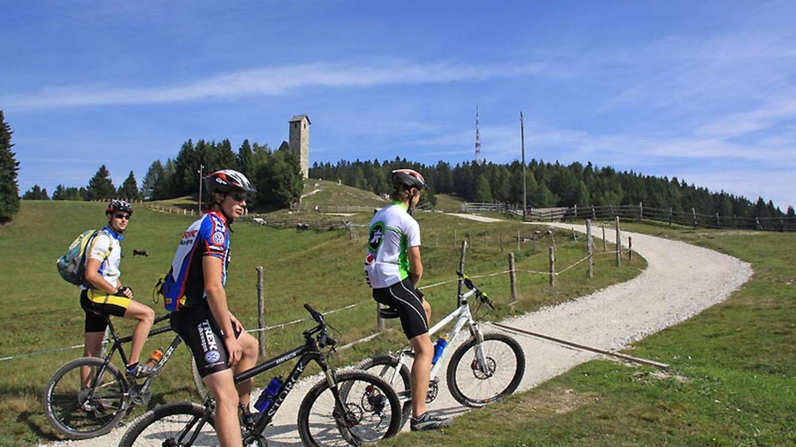
Course: Naturno (554 m) – "Malga di Naturno" hut(1.922 m) – Mone S. Vigilio (1.743 m) – Rio di Lagundo (1.326 m) – Naturno
From the tourist office of Naturno we ride to the main street. We continue to the right until we reach the first crossroad, where we turn left into via Stazione, which we follow until we come to the bridge spanning the Adige. We cross the bridge to reach the sports field. This is the starting point of the climb to the Monte Tramontana di Naturno, that leads us all the way up to the parking area "Kreuzbrünnl" (1600m). After a barrier, which prohibits the access to motorized vehicles, we conquer the final section to the "Malga di Naturno" hut (signposted). After a short break, we take trail no. 9A that starts directly behind the hut. (Trail no. 30 is not advisable) After a brief upill, we arrive on a plateu and ride through a hilly section, before we get to a junction. There we take trail no. 9, which leads us steeply downhill to San Vigilio (tip: visit the church of San Vigilio). From the church we descend to Rio Lagundo (signposted) on forest road no. 28. At Rio Lagundo, past the chapel of St. Maria della Neve, we take the paved road back to Tel, where we cross the bridge and continue on the cycle path back to Naturno.
Back to the overview


