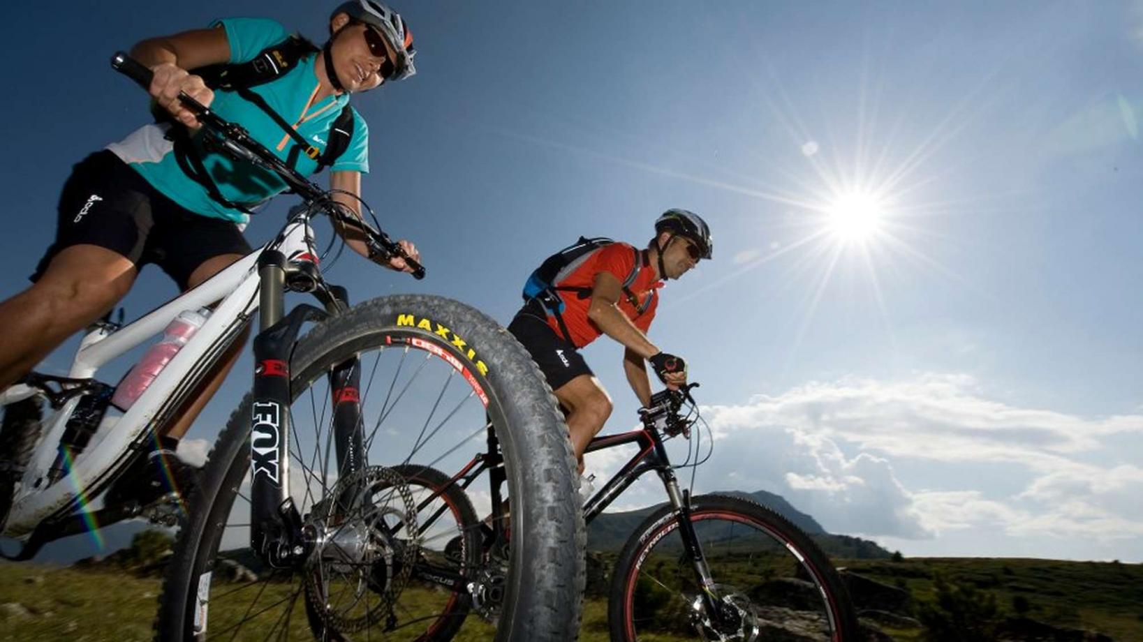
029 Tour to the marble quarries of Covelano
Quick Overview
| Distance | 72 km |
|---|---|
| Elevation gain | 1.900 m |
| Elevation gain | 1.900 m |
| Duration | 5:30 h |
|
Condition
1 = very easy (max. 200 hm) |
|
|
Driving technique (S0 - S5)
The rating of the driving technique is based on the values of singletrail-skala.de.
S0 = S0 describes a single trail that has no special difficulties. These are mostly liquid forest and meadow paths on grippy natural soils or gravel solidified. Stages, rock or root sections are not expected. The slope of the path is light to moderate, the curves are extensive. |
|
Tour months
Equipment
Course: Naturno – Castelbello – Laces – Silandro – Lasa – Tarnell – Cava di marmo di Covelano – "Göflaner Alm" hut – Holy Hansen Trail – Covelano – Laces – Castelbello – Naturno
From the town center of Naturno, we take Via Stazione / Bahnhofstraße which leads us to a bridge, the starting point of the cycle path on the Lungoadige / Etschdamm. We turn right and take the cycle path towards Stava, where we have a beautiful view of Castle Juval. Arrived in Stava, we turn right, cross the bridge and turn left to follow the cycle path. We continue on the cycle path which leads us through the villages Castelbello, Laces, Coldrano, Silandro, Covelano and finally Lasa. Right at the entrance of Lasa, we turn left towards Tarnell and the valley of Lasa (signposted). We ride uphill towards the mountain village Tarnell and get to a crossroad at a marble gravel road. We turn left towards the marble quarries of Coldrano (2150m), where we can admire the "white gold". From the quarries we take trail no. 3 to the "Göflaner Alm" hut. After a break at the hut, we ride on a forest road towards the "Kohlplätzen" (1682m), where we take the forest road that goes slightly uphill. This road finally turns into a trail. After crossing some mountain streams, we arrive at the "Weiskaser Alm" hut. Just underneath the hut, the well known "Holy Hansen Trail" starts and brings us all the way down to Covelano, from where we return to Naturno on the cycle path.
Back to the overview


