024 Panoramic Tour at "Monte Sole"
Quick Overview
| Distance | 24.6 km |
|---|---|
| Elevation gain | 1.350 m |
| Elevation gain | 1.350 m |
| Duration | 2:03 h |
|
Condition
1 = very easy (max. 200 hm) |
|
|
Driving technique (S0 - S5)
The rating of the driving technique is based on the values of singletrail-skala.de.
S0 = S0 describes a single trail that has no special difficulties. These are mostly liquid forest and meadow paths on grippy natural soils or gravel solidified. Stages, rock or root sections are not expected. The slope of the path is light to moderate, the curves are extensive. |
|
Tour months
Equipment
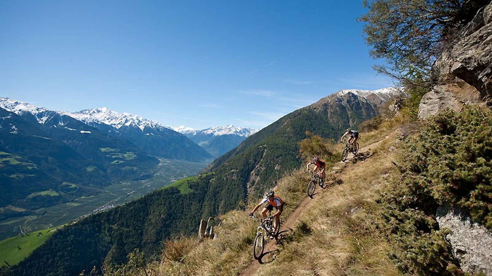
Course: Naturno (554 m) – Val Senales – Farm "Dick" (1.709 m) – Farm "Lint" (1.484 m) – Farm "Unterstell" (1.282 m) - Farm "Rofen" (1.033 m) - Naturno
From the town center of Naturno, we take Via Stazione which leads us to a bridge, the starting point of the cycle path on the Lungoadige. We turn right and follow the cycle path towards Stava. At the snack bar "Radlbar" we turn right, cross the bridge and get to the main street. We turn right and continue on the street towards Val Senales (ride through the tunnels only if you have a bike light). We follow the street until we get to Ratheis. A few hunderd meters further, we turn right into a street that leads to "Fuchsberg" (signposted). From there we ride uphill and a few hairpin bends later we reach the farm "Dickhof" (1709m). After a well deserved break, we turn back on the road we had come from, before we turn left and follow the way to get to the "Linthof" farm (1464m). From there we ride the paved road downhill and pass the farms "Unterstell" (cable car), "Patleid" and "Rofen" to get back to Naturno.
Back to the overview


