016 Tour Rio Lagundo- Masi Quadrati
Quick Overview
| Distance | 37.4 km |
|---|---|
| Elevation gain | 1.000 m |
| Elevation gain | 1.000 m |
| Duration | 3:07 h |
|
Condition
1 = very easy (max. 200 hm) |
|
|
Driving technique (S0 - S5)
The rating of the driving technique is based on the values of singletrail-skala.de.
S0 = S0 describes a single trail that has no special difficulties. These are mostly liquid forest and meadow paths on grippy natural soils or gravel solidified. Stages, rock or root sections are not expected. The slope of the path is light to moderate, the curves are extensive. |
|
Tour months
Equipment
Course: Naturno (554 m) – Plaus (519 m) – Rablà (532 m) – Tel (508 m) – Rio di Lagundo (1.326 m) - forest road nr. 27 – farm “Mühltal” (1.200 m) – restaurant “Brünnl” (875 m) – "Masi Quadrati" (850 m) – Tel – Naturno
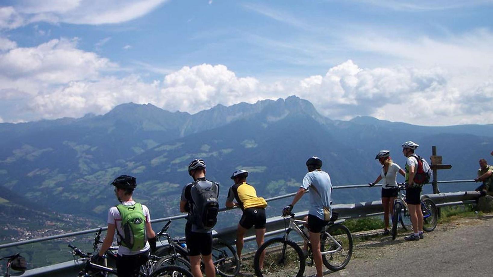
From the town center of Naturno, we take Via Stazione which leads us to a bridge, the starting point of the cycle path on the Lungoadige. We turn left on the cycle path towards Merano. We pass through Plaus and Rablá to reach Tel, where we turn right, cross the bridge and take the uphill to Rio Lagundo (signposted). A long and steep uphill is ahead of us. Arrived in Rio Lagundo we pass the mountain terminal of the cable car. At the next hairpin bend we keep left to take the forest road no. 27 to the "Masi Quadrati" (signposted). We follow the road and at the next crossroad we reach the highest point of our excursion. We follow the forest road to get to the restaurant "Brünnl" and passing the "Masi Quadrati" we get back to Tel (signposted). From Tel we return to Naturno on the cycle path.
Back to the overview


