014 Panoramic tour at "Montefontana"
Quick Overview
| Distance | 19.2 km |
|---|---|
| Elevation gain | 750 m |
| Elevation gain | 750 m |
| Duration | 1:36 h |
|
Condition
1 = very easy (max. 200 hm) |
|
|
Driving technique (S0 - S5)
The rating of the driving technique is based on the values of singletrail-skala.de.
S0 = S0 describes a single trail that has no special difficulties. These are mostly liquid forest and meadow paths on grippy natural soils or gravel solidified. Stages, rock or root sections are not expected. The slope of the path is light to moderate, the curves are extensive. |
|
Tour months
Equipment
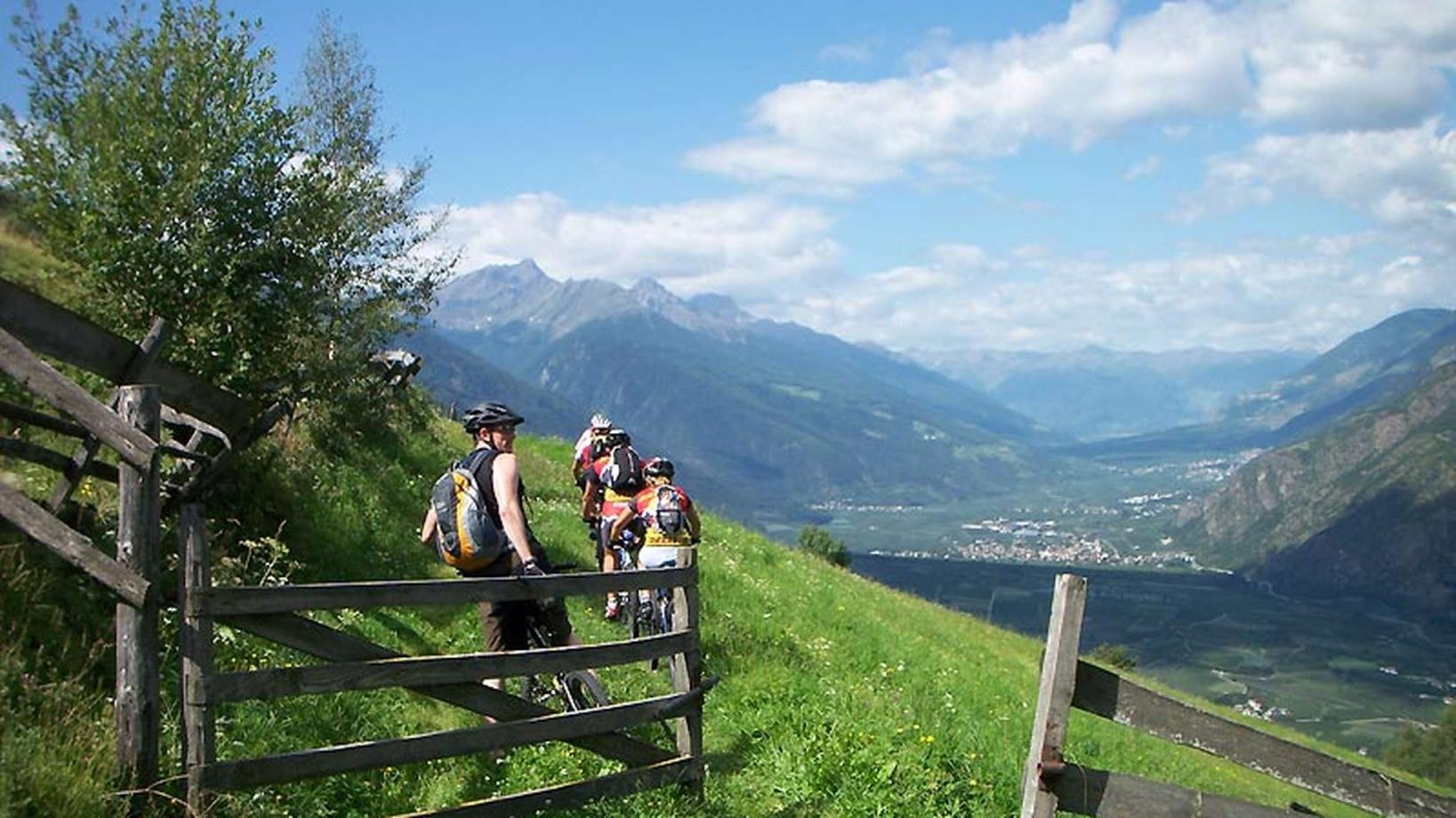
Course: Naturno – Tablà – Montefontana – Maso Niedermairhof - Fontana trail – Ciardes – Naturno
From the town center of Naturno we take Via Stazione which leads us to a bridge. We turn right onto the cycle path and at the first intersection we turn left, cross the bridge and ride uphill to Cirlano. We pass through Cirlano and follow the signs to Tablá. At the church in Tablá we turn right and after a few meters we take the side street on the left towards "Schleidertal - Montefontana". We proceed on the paved road until we get to a crossroad where we follow the signs to "Montefontana". The paved road turns into a forest road. At the next crossroad we turn left into a steep uphill path that brings us back to a paved road, which we keep following in direction of "Zirmtal" (signposted). At the crossroad to the restaurant "Niedermaierhof" we follow the street to the restaurant. Shortly after, we follow the signs to the Fontana - Trail that brings us back to the valley. Arrived at the end of the trail, we follow the paved road to the train station of Ciardes. We cross the bridge and turn right onto the cycle path that brings us back to the starting point in Naturno.
Back to the overview


