010 Tour to the "Schwarze Lacke" (black pond)
Quick Overview
| Distance | 42 km |
|---|---|
| Elevation gain | 1.250 m |
| Elevation gain | 1.250 m |
| Duration | 4:00 h |
|
Condition
1 = very easy (max. 200 hm) |
|
|
Driving technique (S0 - S5)
The rating of the driving technique is based on the values of singletrail-skala.de.
S0 = S0 describes a single trail that has no special difficulties. These are mostly liquid forest and meadow paths on grippy natural soils or gravel solidified. Stages, rock or root sections are not expected. The slope of the path is light to moderate, the curves are extensive. |
|
Tour months
Equipment
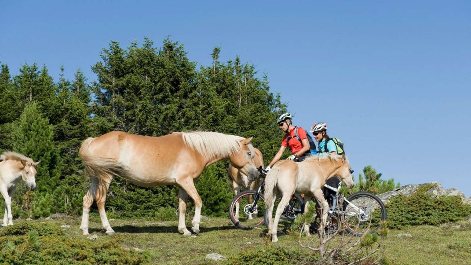
Course: Naturno – Plaus – Rablà – Tel – uphill Rio Lagundo – uphill Seespitz – restaurant Seespitz – trail Stuanbruch – Tel – Naturno
From the town center of Naturno, we take Via Stazione / Bahnhofstraße which leads us to a bridge, the starting point of the cycle path on the Lungoadige / Etschdamm. We turn left onto the cycle path towards Merano. Arrived in Tel, we turn right and start our uphill ride towards Rio Lagundo. The first 2,4 km are the toughest with a gradient of 16% at some points. At the first crossroad, we keep right and follow the signs to Rio Lagundo (1340m). Those who want to skip the uphill ride, can opt for the cableway up to Rio Lagundo. About 50 meters behind the mountain terminal of the cable car, we follow the signs "Family Trail" (no.27) towards "Rasner Kreuz" where we turn right and continue uphill towards the restaurant "Seespitz" by the "Schwarze Lacke". After a break on the sunny porch of the restaurant, we get back to our tour. We access the "Stuanbruchtrail" just behind the restaurant. This demanding trail brings us back to the bottom of the valley. Once we reach Tel, we cross the bridge, turn left onto the cycle path and ride back to Naturno.
Back to the overview


