109 Get to know the Val Venosta
Quick Overview
| Distance | 29.2 km |
|---|---|
| Elevation gain | 400 m |
| Elevation gain | 400 m |
| Duration | 3:00 h |
|
Condition
1 = very easy (max. 200 hm) |
|
Tour months
Info
Equipment
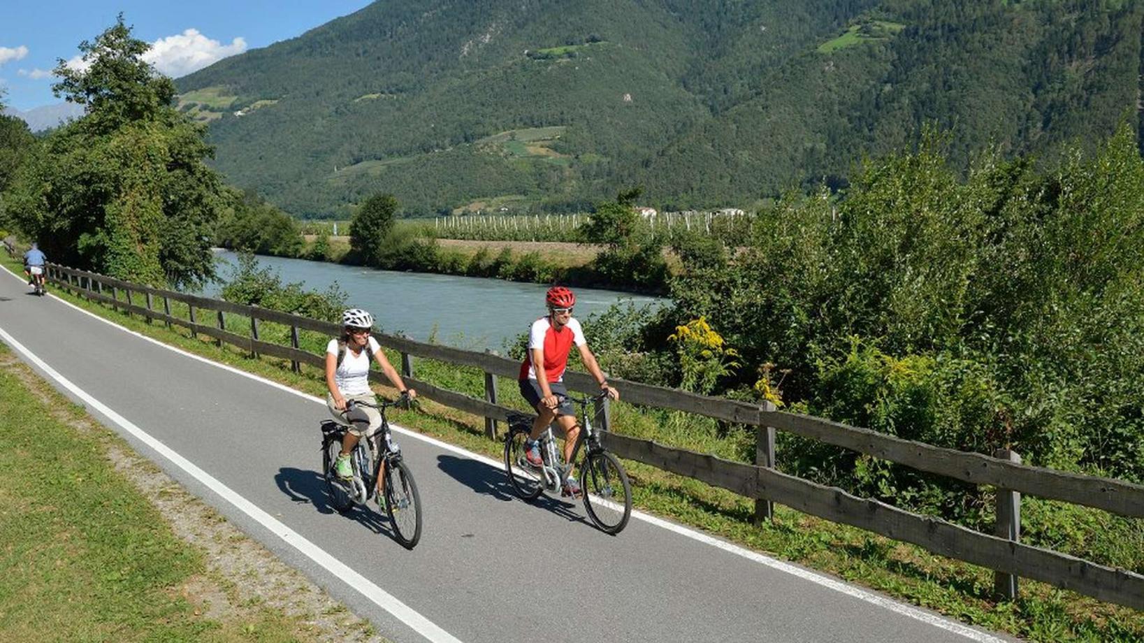
Course: Naturno- Laces- Tarres- Castelbello- Ciardes- Tablá- Cirlano- Naturno
From the town center of Naturno, we take Via Stazione / Bahnhofstraße which leads us to a bridge, the starting point of the cycle path on the Lungoadige / Etschdamm. We turn right and take the cycle path towards Stava, where we have a beautiful view of Castle Juval. Arrived in Stava, we turn right, cross the bridge and turn left to follow the cycle path. We continue on the cycle path which leads us through the village Castelbello to Laces. There we ride to the center and turn left to ride towards Tarres. What follows is a fairly long uphill ride to the highest point of the excursion (820m). In Tarres, we turn left at the first crossroad and follow the road to Lacinigo and Castelbello, where we turn right onto a side road at the "Gstirnerkeller". We follow this road through the orchards back to Ciardes. From there we continue to Tablá then Cirlano and finally Naturno.
Back to the overview


