road map: 17 Giro “Montezoccolo – Salto”
Quick Overview
| Distance | 115 km |
|---|---|
| Elevation gain | 2.000 m |
| Elevation gain | 2.000 m |
| Duration | 7:00 h |
|
Condition
1 = very easy (max. 200 hm) |
|
Tour months
May, June, July, August, September, October
Equipment
Helmet, cycling shoes, cycling clothing, gloves, glasses
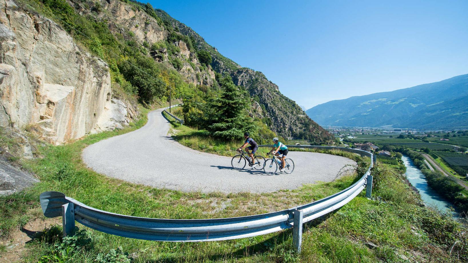
Course: Naturno (554 m) – Tel (508 m) – Lagundo (350 m) - Merano (312 m) – Sinigo (310 m) – Avelengo (1278 m) – Verano (1.204 m) - Meltina(1.142 m) – Valas (1376 m) – S. Genesio Atesino (1089 m) – Bolzano (262 m) – Ponte Adige (250 m) – Lana (290 m) – Merano (312 m) – Tel (508 m) – Naturno (554 m)
For our new road bike map, here we have the route and GPS data of the marked routes. The road bike map is available at the tourist office, the individual accommodations and the Ötzi Bike Shop. The card is FREE!
Back to the overview


