007 Vinschgau Panoramic Tour
Quick Overview
| Distance | 85 km |
|---|---|
| Elevation gain | 1.300 m |
| Elevation gain | 1.300 m |
| Duration | 4:00 h |
|
Condition
1 = very easy (max. 200 hm) |
|
Tour months
Equipment
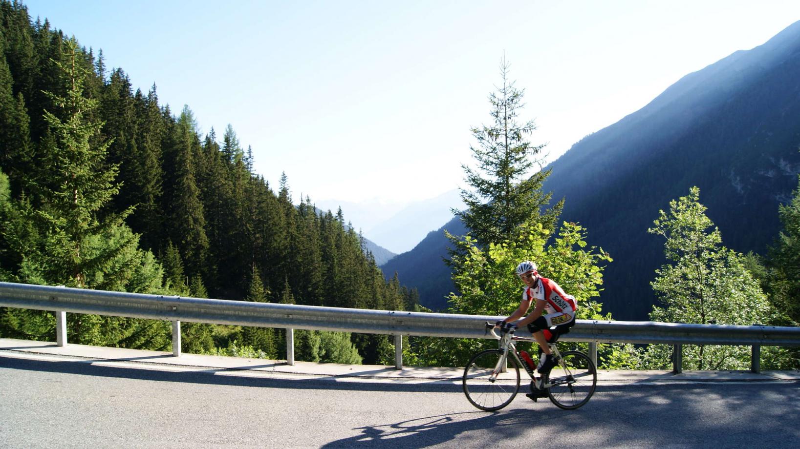
Course: Naturno (554 m) - Castelbello (577 m) - Laces (642 m) - Silandro (738 m) - Corces (840 m) - Alliz (1125 m) - Tanas (1523 m) - Sluderno (922 m) - Lasa (870 m) - Silandro (738 m) - Laces (642 m) - Castelbello (577 m) - Naturno (544 m)
From the town center of Naturno, we take Via Stazione / Bahnhofstraße which leads to a bridge, the starting point of the cycle path on the Lungoadige / Etschdamm. We turn right and take the cycle path towards Val Venosta, passing through Castelbello, before we arrive in Laces. Once in Laces, we keep left and follow the road through the town, and then continue in the direction of Coldrano and Vezzano on the cycle path (signposted). In Vezzano we take the main road (watch out for traffic) to Silandro which is one of the main towns in the lower Venosta Valley. We pass by Silandro and continue uphill in the direction of Corces and Lasa (it is recommended to ride this part on the main road as the cycle path is not paved). We pass by the pilgrimage church and turn right towards Lasa before following the signs towards Alliz and Tanas. The uphill climb to Alliz is quite demanding, the first kilometers being the toughest ones. We pass by Alliz and arrive in Tanas after several switchbacks. We pass through the town and follow the panoramic road that brings us to the highest point of our excursion (1580 m). A long descent to Sluderno follows. Once in Sluderno, we ride along to Glorenza (which is the smallest city in Italy). In Glorenza, we turn left towards Tubre. Just outside Glorenza's city walls, we come to a crossroads, where we turn left and continue on the state road in direction of Montechiaro and Prato (signposted). In Prato we pass through the town and turn right onto the cycle path. We follow the signs and continue along the cycle path towards Lasa. Near the cafe Rosi, we cross the bridge to the left to reach the center of Lasa. At the junctions, we turn right and continue to the end of the town to get back to the state road. We follow the state road downhill to Silandro and then continue to Vezzano. We leave the state road and turn right into a road that leads to Coldrano and then to Laces. From there we return to Naturno the same route we came.
Back to the overview


