049 Bike Highline Merano with Lupo Trail
Quick Overview
| Distance | 47 km |
|---|---|
| Elevation gain | 1.650 m |
| Elevation gain | 1.650 m |
| Duration | 4:00 h |
|
Condition
1 = very easy (max. 200 hm) |
|
|
Driving technique (S0 - S5)
The rating of the driving technique is based on the values of singletrail-skala.de.
S0 = S0 describes a single trail that has no special difficulties. These are mostly liquid forest and meadow paths on grippy natural soils or gravel solidified. Stages, rock or root sections are not expected. The slope of the path is light to moderate, the curves are extensive. |
|
Tour months
Equipment
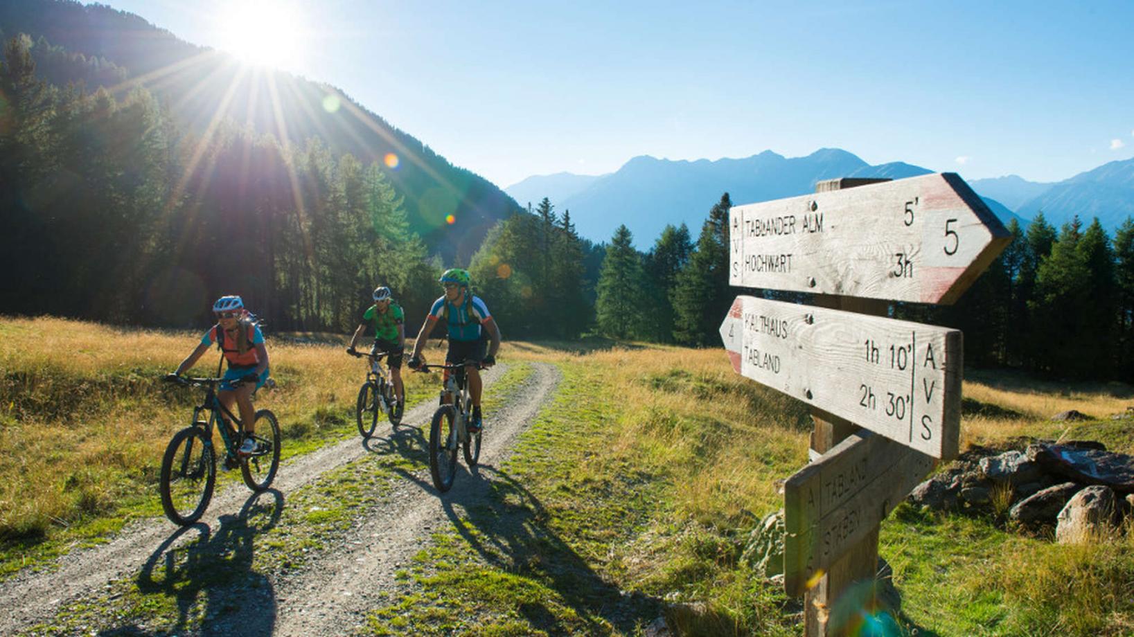
Course: Naturno – Rablá – Tel - uphill Rio Lagundo – Bike Highline Merano to "Tablander Alm" hut – Lupo trail – Naturno
From the town center of Naturno, we take Via Stazione / Bahnhofstraße which leads us to a bridge, the starting point of the cycle path on the Lungoadige / Etschdamm. We turn left onto the cycle path towards Merano. Arrived in Tel, we turn right and start our uphill towards Rio Lagundo. The first 2,4 km are the toughest with a gradient of 16% at some points. At the first crossroad, we keep right and follow the signs to Rio Lagundo (1340m). From Rio Lagundo, we take the asphalt street and follow the signs to San Vigilio. After a barrier, the asphalt street turns into a forest path that leads us to San Vigilio (1760m). Just before San Vigilio, we arrive at a crossroad where the Merano Bike Highline starts. We follow the Bike Highline westwards, in a constant up and down past the huts of Naturno, Zetn and Mausloch to finally reach the "Tablander Alm" hut. The Merano Bike Highline mostly runs on a forest road, only a small part from the "Mausloch Alm" hut to the "Tablander Alm" hut stretches on a narrow trail. After a well deserved break at the "Tablander Alm" hut, we follow the Bike Highline to reach the start of the "Lupo Trail" (no.4). The "Lupotrail" brings us all the way down to Tablá. This downhill is a real test for our brakes and our body. The trail is full of gravel and roots, but has a quite flowy character and is thus perfectly suited for beginners. Arrived in Tablá, we return through the apple orchards to Naturno.
Back to the overview


