040 Bike Highline Merano with Ötzi Trail
Quick Overview
| Distance | 30.3 km |
|---|---|
| Elevation gain | 650 m |
| Elevation gain | 1.600 m |
| Duration | 3:00 h |
|
Condition
1 = very easy (max. 200 hm) |
|
|
Driving technique (S0 - S5)
The rating of the driving technique is based on the values of singletrail-skala.de.
S0 = S0 describes a single trail that has no special difficulties. These are mostly liquid forest and meadow paths on grippy natural soils or gravel solidified. Stages, rock or root sections are not expected. The slope of the path is light to moderate, the curves are extensive. |
|
Tour months
Equipment
Course: Naturno – Plaus – Rablà – cable car to Rio Lagundo – Rio Lagundo – Monte San Vigilio – "Naturnseralm" hut - car park Kreuzbrünnl – "Mauslochalm" hut - "Ötzi Trail"- Waldschenke - Naturno
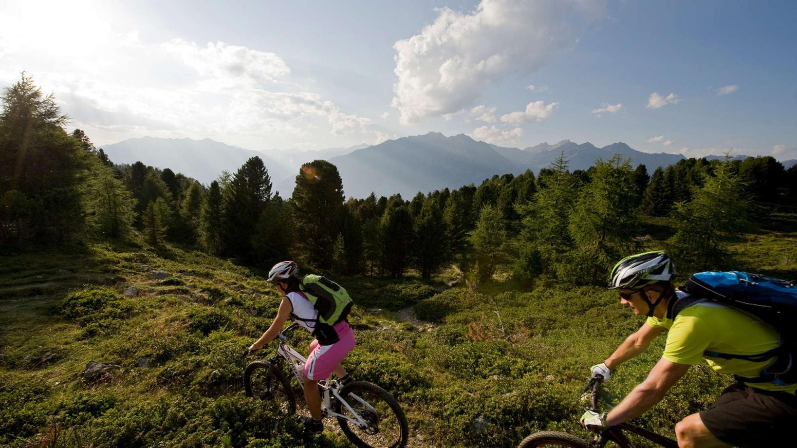
From the town center of Naturno, we take Via Stazione / which leads us to a bridge, the starting point of the cycle path on the Lungoadige. We turn left on the cycle path towards Merano. Arrived in Rablá we turn right, cross the bridge to get to the cable car of Rio Lagundo. From Rio Lagundo we take the asphalt street and follow the signs to San Vigilio. After a barrier the asphalt street turns into a forest path that leads us to San Vigilio (1760m). Just before San Vigilio we come to a crossroad where we turn right onto forest road no. 27 that leads us towards the "Naturnseralm" hut. At a crossroad, just before the "Narturnseralm" hut, we keep right to get to the parking area "Kreuzbrünnl". There we turn left and follow the signs to the "Mauslochalm" hut. Just before we arrive at the hut, we reach the access of the "Ötzi Trail" (trail no. 5). The S3 trail offers everything a mountainbiker's heart desires: from flowy sections in the upper part, to really rocky and blocked, but always passable sections in the lower part. At the end of the trail, we reach Cirlano from where we return to Naturno to end our tour.
Back to the overview


