033 "Tarscher Alm" hut and the "Barbarossa trail"
Quick Overview
| Distance | 41 km |
|---|---|
| Elevation gain | 800 m |
| Elevation gain | 1.600 m |
| Duration | 5:00 h |
|
Condition
1 = very easy (max. 200 hm) |
|
|
Driving technique (S0 - S5)
The rating of the driving technique is based on the values of singletrail-skala.de.
S0 = S0 describes a single trail that has no special difficulties. These are mostly liquid forest and meadow paths on grippy natural soils or gravel solidified. Stages, rock or root sections are not expected. The slope of the path is light to moderate, the curves are extensive. |
|
Tour months
Equipment
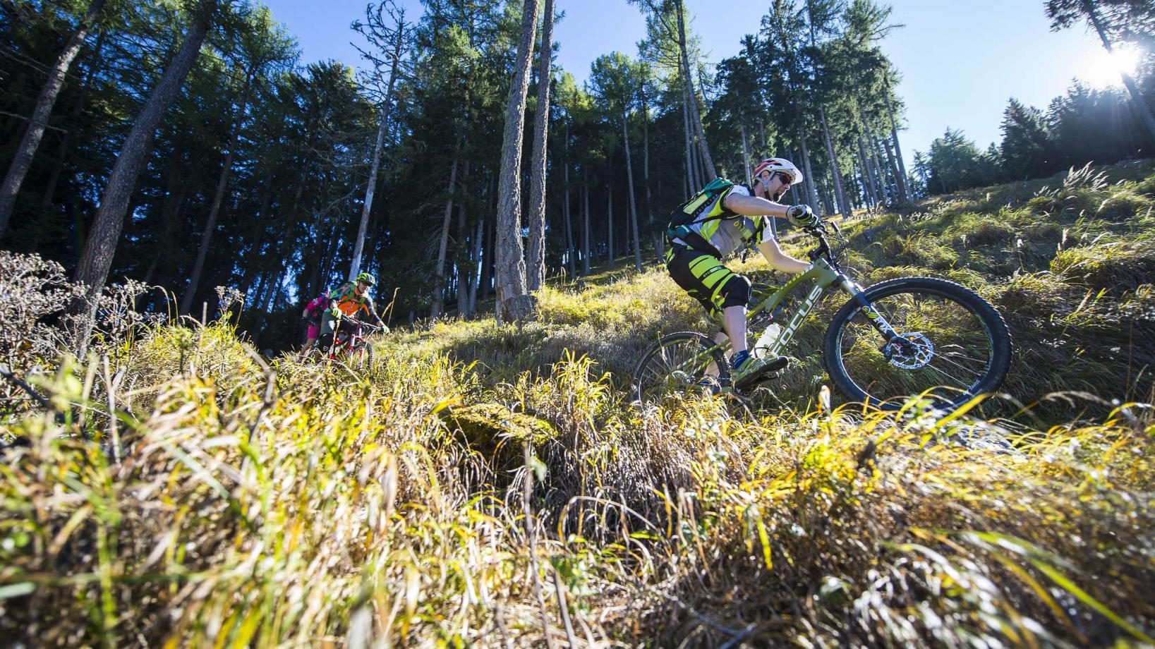
Course: Naturno – Castelbello – Lacinigo – Tarres – chairlift "Tarscher Alm" – "Tarscher Alm" - Barbarossa Trail - Roatbrunn Trail – Laces – Naturno
From the town center of Naturno, we take Via Stazione which leads us to a bridge, the starting point of the cycle path on the Lungoadige. We turn right and follow the cycle path towards Stava, Ciardes and finally Castelbello, where we turn left and continue on the street that passes through the villages Lacinigo and Tarres. In Tarres we proceed uphill and ride towards the "Tarscher Alm" hut (signposted). We arrive at the bottom station of the chairlift "Tarscher Alm" hut, where we take the lift to shorten the way (alternatively a steep forest road leads uphill). Just below the "Tarscher Alm" hut, the brandnew "Barbarossa" trail starts. At the end of this trail we arrive at a forest road, where we turn left and, after a short uphill, take the technically demanding "Roatbrunn" trail to get back to Laces. There we take the cycle path back to Naturno
Back to the overview


