031 "Lupo Trail" tour
Quick Overview
| Distance | 19 km |
|---|---|
| Elevation gain | 350 m |
| Elevation gain | 1.400 m |
| Duration | 2:00 h |
|
Condition
1 = very easy (max. 200 hm) |
|
|
Driving technique (S0 - S5)
The rating of the driving technique is based on the values of singletrail-skala.de.
S0 = S0 describes a single trail that has no special difficulties. These are mostly liquid forest and meadow paths on grippy natural soils or gravel solidified. Stages, rock or root sections are not expected. The slope of the path is light to moderate, the curves are extensive. |
|
Tour months
Equipment
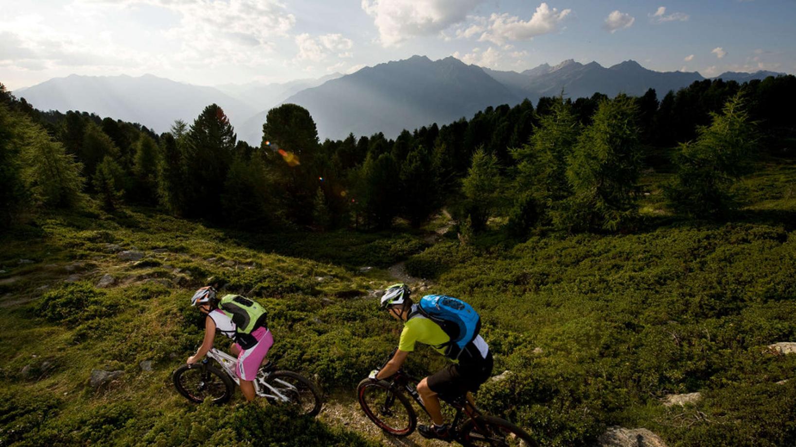
Course: Naturno - Shuttle car park Kreuzbrünnl - "Mausloch" hut – "Tablander Alm" hut – Partenza sentiero 4e (Lupotrail) - Tablà- Naturno
For this tour we take advantage of the bike shuttle (information available at the tourist office or the Ötzi Bike Shop) which takes us from Naturno to the Kreuzbrünnl parking area. From there we start riding on a forest road towards the "Mausloch" hut. Just below the hut we keep right on a left hairpin bend to follow the Merano Bike Highline. At some point the forest road turns into a single trail which in the first part leads us slightly uphill and then in a constant up and down to the "Tablander Alm" hut. For advanced bikers the single trail is fully passable. Beginners might need to push the bike for some parts. Arrived at the "Tablander Alm" hut, we also reached the highest point of the tour. For the downhill we take forest road no. 4 that leads us to the parking area "Schartegg". From there, a bit further on the right side we access the single trail no. 4 (Lupotrail). This pleasant trail (signposted) leads us all the way down to Tablá. During the descend we need to cross the asphalt road a few times, so paying attention to the traffic is vital. Arrived in Tablá, we ride to the center, where we first turn right and then left at the crossroad to get to Cirlano. At Cirlano we turn right at the "Tschirlanderhof" to get to the sports center of Naturno, where we once again turn left to get back to our starting point.
Back to the overview


