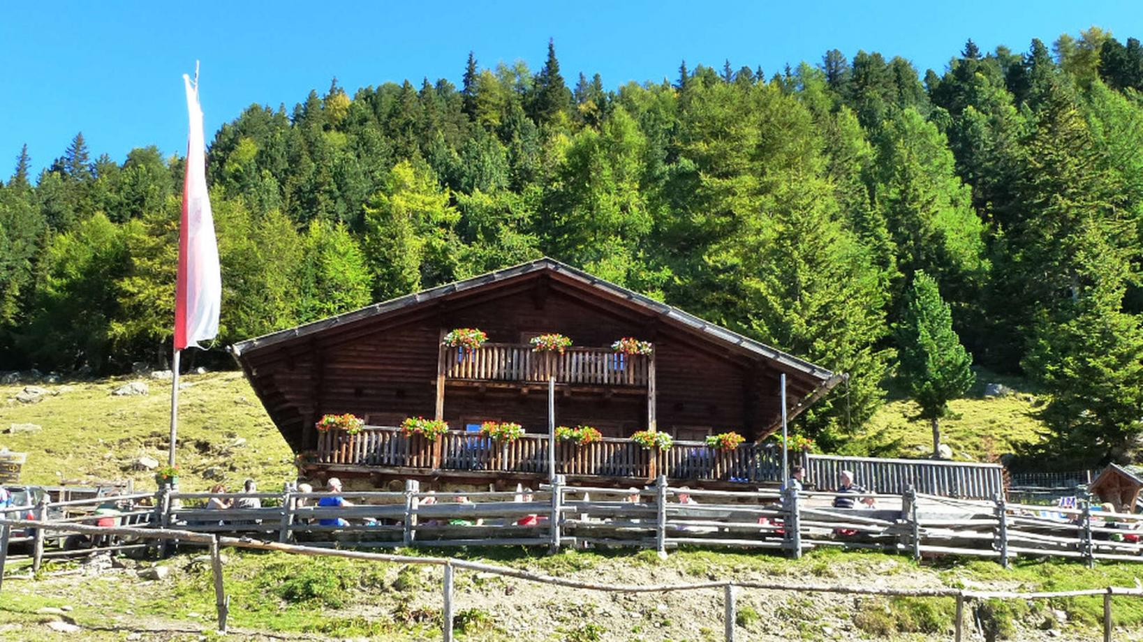
028 "Tarscher Alm" hut with "Roatbrunn Trail"
Quick Overview
| Distance | 50 km |
|---|---|
| Elevation gain | 1.500 m |
| Elevation gain | 1.500 m |
| Duration | 5:00 h |
|
Condition
1 = very easy (max. 200 hm) |
|
|
Driving technique (S0 - S5)
The rating of the driving technique is based on the values of singletrail-skala.de.
S0 = S0 describes a single trail that has no special difficulties. These are mostly liquid forest and meadow paths on grippy natural soils or gravel solidified. Stages, rock or root sections are not expected. The slope of the path is light to moderate, the curves are extensive. |
|
Tour months
Equipment
Course: Naturno – Castelbello – Laces – Tarres – "Tarscher Alm" hut – trail Roatbrunn – Laces – Naturno
From the town center of Naturno, we take Via Stazione / Bahnhofstraße which leads us to a bridge, the starting point of the cycle path on the Lungoadige / Etschdamm. We turn right and take the cycle path towards Stava, Ciardes, Castelbello and finally Laces. There we turn left and follow the street to the center, where we turn left again and take the street to Tarres (signposted). In Tarres, we proceed uphill and ride towards the "Tarscher Alm" hut (signposted). We arrive at the valley terminal of the "Tarscher Alm" chairlift, where we can decide whether we ride up the steep forest road or we take the lift to the "Tarscher Alm" hut (1920m). After a well deserved break at the hut, we take the forest road towards the "Latscher Alm" hut and the start the "Roatbrunn Trail" (no.4). After the first steep parts, the trail is quite flowy. We reach a forest road, which we cross to jump right into the next section of the trail by following the signposts. Again we arrive at a forest road, which we follow for a few meters to get to the next section of the "Roatbrunn Trail". At some point, the trail crosses the "Tarscher Alm Trail". The last section of the trail is the most demanding, with some steep and rocky sections. At the end of the trail we reach the "Ramini-Waal", which we follow to Laces. In Laces, we take the cycle path back to Naturno.
Back to the overview


