026 Towards the huts of Laces
Quick Overview
| Distance | 47 km |
|---|---|
| Elevation gain | 1.500 m |
| Elevation gain | 1.500 m |
| Duration | 5:00 h |
|
Condition
1 = very easy (max. 200 hm) |
|
|
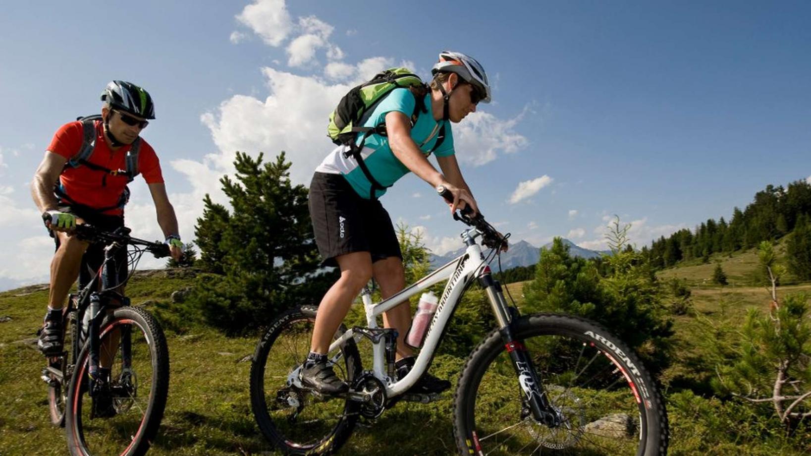
Driving technique (S0 - S5)
The rating of the driving technique is based on the values of singletrail-skala.de.
S0 = S0 describes a single trail that has no special difficulties. These are mostly liquid forest and meadow paths on grippy natural soils or gravel solidified. Stages, rock or root sections are not expected. The slope of the path is light to moderate, the curves are extensive. |
|
Tour months
Equipment
Course: Naturno – Castelbello – Laces – Tarres – "Tarscher Alm" hut – "Latscher Alm" hut – trail nr. 4 – Laces – Naturno
From the town center of Naturno, we take Via Stazione / Bahnhofstraße which leads us to a bridge, the starting point of the cycle path on the Lungoadige / Etschdamm. We turn right and take the cycle path towards Stava, Ciardes, Castelbello and finally Laces. There we turn left and follow the street to the center, where we turn left again and take the street to Tarres (signposted). In Tarres, we proceed uphill and ride towards the "Tarscher Alm" hut (signposted). We ride past the valley terminal of the "Tarscher Alm" chairlift and ride on the steep forest road towards the "Tarscher Alm" hut (1920m). After a well deserved break at the hut, we return a few hundred meters on the forest road before turning left towards the "Latscher Alm" hut. We pass by the hut and after a few meters, we reach trail no. 4, that leads us all the way down to Laces. This trail is technically demanding. However, if you don't want to ride it, you can also stay on the forest road that brings you to Laces as well. Arrived in Laces, we take the cycle path back to Naturno, our final destination.
Back to the overview


