013 Tour around the hollow of Merano
Quick Overview
| Distance | 41.8 km |
|---|---|
| Elevation gain | 1.100 m |
| Elevation gain | 1.100 m |
| Duration | 3:29 h |
|
Condition
1 = very easy (max. 200 hm) |
|
|
Driving technique (S0 - S5)
The rating of the driving technique is based on the values of singletrail-skala.de.
S0 = S0 describes a single trail that has no special difficulties. These are mostly liquid forest and meadow paths on grippy natural soils or gravel solidified. Stages, rock or root sections are not expected. The slope of the path is light to moderate, the curves are extensive. |
|
Tour months
Equipment
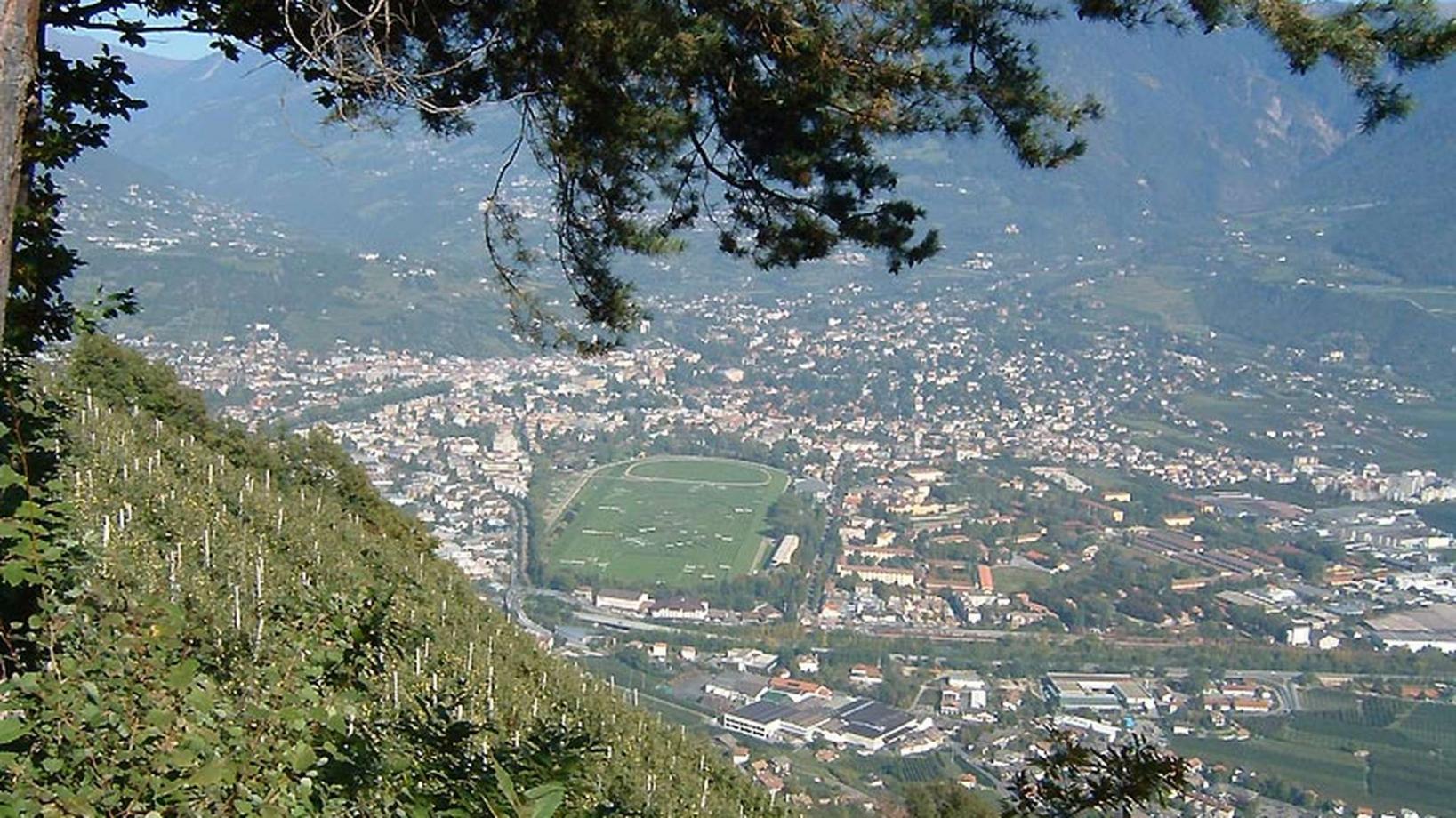
Course: Naturno (554 m) – Tel (508 m) – Lagundo (350 m) – Marlengo (390 m) – Cermes (292 m) – castle Monteleone – restaurant “Tschigg” (950 m) – plateau “Almboden” (1.350 m) – church of S. Martino (1.267 m) – restaurant “Mühltal” (1.200 m) – restaurant “Brünnl” (875 m) – Tel – Naturno
From the town center of Naturno, we take Via Stazione which leads us to a bridge, the starting point of the cycle path on the Lungoadige. We turn left onto the cycle path towards Merano. We pass through the villages of Plaus and Rablà until we reach Tel. We cross the main road and take the newly laid cycle path to Lagundo which takes us downhill to the Lagundo swimming pool. There, we cross the wooden bridge and follow the road, which eventually leads us to the Forst brewery. At the brewery we cross the main road again and, keeping right, we begin the climb to Marling. We pass through the village of Marling and descend to the wine cellar of Marlengo. From there, we take Via Monteleone and proceed uphill following the signs to "Castel Monteleone". This street leads us past a castle straight to the restaurant "Tschigg" (880m). For about 100 meters we continue on this street, before we arrive at a barrier. Next a forest road leads us uphill to the plateau "Almboden" (1350m), the highest point of our tour. Descending, we follow the street on the right to the "Masi Quadrati" and "Mühltal" (signposted). At the end of the downhill path, we arrive in Tel, where we cross the bridge and turn left onto the cycle path back to Naturno.
Back to the overview


