B
Current weather
-4°C
min.
5°C
max.
 Over 100 tours to choose from!
Open route planner

005 From farm to farm on the Monte Tramontana

Quick Overview

Distance 17.9 km
Elevation gain 600 m
Duration 1:30 h
Condition

1 = very easy (max. 200 hm)
2 = easy (max. 400 hm)
3 = medium (max. 800 hm
4 = difficult (max. 1200 hm)
5 = very difficult (über 1200 hm)

Driving technique (S0 - S5)

The rating of the driving technique is based on the values ​​of singletrail-skala.de.

S0 = S0 describes a single trail that has no special difficulties. These are mostly liquid forest and meadow paths on grippy natural soils or gravel solidified. Stages, rock or root sections are not expected. The slope of the path is light to moderate, the curves are extensive.
S1 = a S1 described way you have to even minor obstacles such as shallow roots and small stones to expect. Very often the odd gulley erosion damage and cause of the increased difficulty of the ground can not be partially solidified. The gradient is a maximum of 40%. Hairpin bends are not expected.
S2 = expect the S grade S2 have to with larger roots and stones. The soil is often not solidified. Steps and shallow steps are expected. Often sharp bends occur, the slope is passages, up to 70%.
S3 = Splinted single trails with many large rocks and / or root sections belonging to the S-level S3. High levels switchbacks and brain-lateral gradients often occur, relaxed roll sections are rare. Frequently is also expected to slippery surfaces and loose rocks, slopes above 70% are not uncommon.
S4 = S 4 describes very steep and strong interlocked single trails with large boulders and / or demanding root passages therebetween often loose debris. Extreme steep ramps, narrow switchbacks and steps in which the chainring touches inevitably come in 4th grade common.

Tour months

March, April, May, June, July, August, September, October

Equipment

Helmet, gloves, good shoes, glasses as well as bike clothing and drinking bottle!

Course: Naturno (554 m) – sports center (554 m) – Monte Tramontana – Farm “Steilhof” (986 m) – Farm “Brandhof” (1.050 m) – Monte “Birchberg” (950 m) – Plaus (519 m) – Naturno
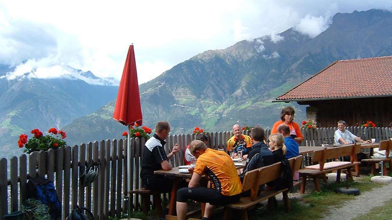
From the Tourist Office of Naturno we ride to the main street, then we continue to the right until the first crossroad, where we turn left into via Stazione, which we follow until we cross the bridge over the Adige, to reach the sports field, the starting point of the climb on the Monte Tramontana di Naturno. We get to a crossroad where the signpost for the farm "Steil" is. We take a short uphill and on the following downhill we follow the signposts to the farm "Brandhof" (worth a visit - self made cheese). We pass the Brandhof and get to the asphalted street of "Birchberg" which brings us back to Plaus and return to Naturno.

Back to the overview
Logo Bike Hotels Logo Espira Logo Mountain Bike Holidays Logo Kalkhoff Logo Focus

Contact

Partner

This page uses cookies for functional and analytical reasons. Read our cookie regulations for more information. By using this website you agree with our cookie regulations.