004 Tour to Montefontana (short)
Quick Overview
| Distance | 16.7 km |
|---|---|
| Elevation gain | 450 m |
| Elevation gain | 450 m |
| Duration | 1:24 h |
|
Condition
1 = very easy (max. 200 hm) |
|
|
Driving technique (S0 - S5)
The rating of the driving technique is based on the values of singletrail-skala.de.
S0 = S0 describes a single trail that has no special difficulties. These are mostly liquid forest and meadow paths on grippy natural soils or gravel solidified. Stages, rock or root sections are not expected. The slope of the path is light to moderate, the curves are extensive. |
|
Tour months
Equipment
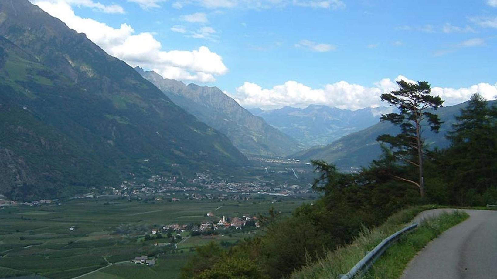
Course: Naturno (554 m) – Ciardes(625 m) – Monte “Tomberg” (1.200 m) – Valley of “Schleidertal” – Tablà (675 m) – Cirlano(585 m) – Naturno
From the town center of Naturno, we take Via Stazione which leads us to a bridge, the starting point of the cycle path on the Lungoadige. We turn right and take the cycle path towards Val Venosta. We pass through the village of Stava, where we enjoy a fantastic view of the Castle Juval before we reach the next village Ciardes (Restaurant Winkler). There we turn left, cross the bridge and follow the road uphill to Montefontana. We ride uphill until we arrive at the farm "Radeben" (950m). Just under the farm, on a right sharp bend we proceed towards the forest path on the left to get to the trail which is signed with the number 4 and leads to Tablá. We enjyóy the smooth downhill until we arrive at the paved road that brings us to Tablá. We first turn right and at the church left before following the street to Cirlano. Arrived in Cirlano, we turn right at the Restaurant "Tschirlanderhof" and take this road back to Naturno.
Back to the overview


