003 Tour to San Vigilio light
Quick Overview
| Distance | 34.5 km |
|---|---|
| Elevation gain | 450 m |
| Elevation gain | 1.200 m |
| Duration | 2:53 h |
|
Condition
1 = very easy (max. 200 hm) |
|
|
Driving technique (S0 - S5)
The rating of the driving technique is based on the values of singletrail-skala.de.
S0 = S0 describes a single trail that has no special difficulties. These are mostly liquid forest and meadow paths on grippy natural soils or gravel solidified. Stages, rock or root sections are not expected. The slope of the path is light to moderate, the curves are extensive. |
|
Tour months
Equipment
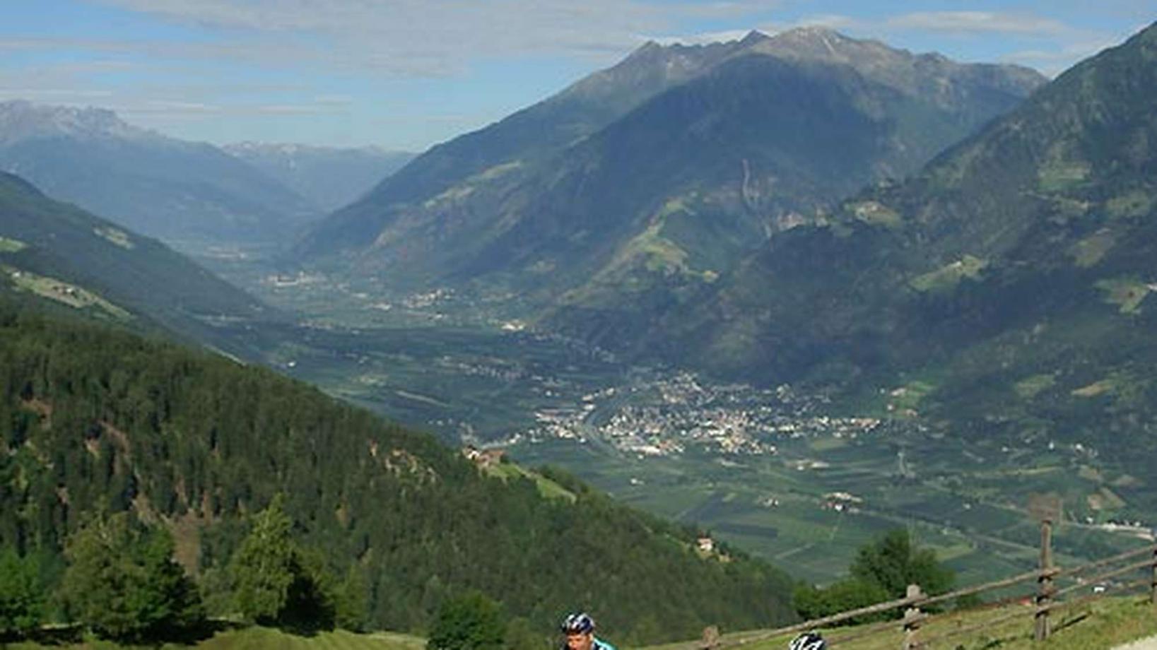
Course: Naturno (554 m) – Plaus (519 m) – Rablà (532 m) – Cable car to Rio di Lagundo (518 m) – Rio di Lagundo (1.326 m) – Monte S. Vigilio (1.743 m) – Restaurant “Seespitz” (1.700 m) – Plateu “Almboden” (1.350 m) – Restaurant “Mühltal” (1.200 m) – Restaurant “Brünnl” (875 m) – Tel (508 m) – Naturno
From the town center of Naturno, we take Via Stazione which leads us to a bridge, the starting point of the cycle path on the Lungoadige. We turn left on the cycle path towards Merano. Arrived in Rablá, we turn right, cross the bridge to get to the cable car to Rio Lagundo. From Rio Lagundo we take the paved road and follow the signs to San Vigilio. After a barrier the paved road turns into a forest path that leads us to San Vigilio (1760m) from where we have an amazing panoramic view. We pass the church of San Vigilio (worth a visit) to get to the "Pozza Nera" and follow the forest path to the Plateu of "Almboden". Always proceeding downhill the signposts lead us by the restaurants "Mühltal" and "Brünnl" until we eventually reach the village of Tel. From there we follow the cycle path back to Naturno.
Back to the overview


