19 E-Biketour to the "Naturnser Alm" hut
Quick Overview
| Distance | 41 km |
|---|---|
| Elevation gain | 1.500 m |
| Elevation gain | 1.500 m |
| Duration | 5:00 h |
|
Condition
1 = very easy (max. 200 hm) |
|
Tour months
Equipment
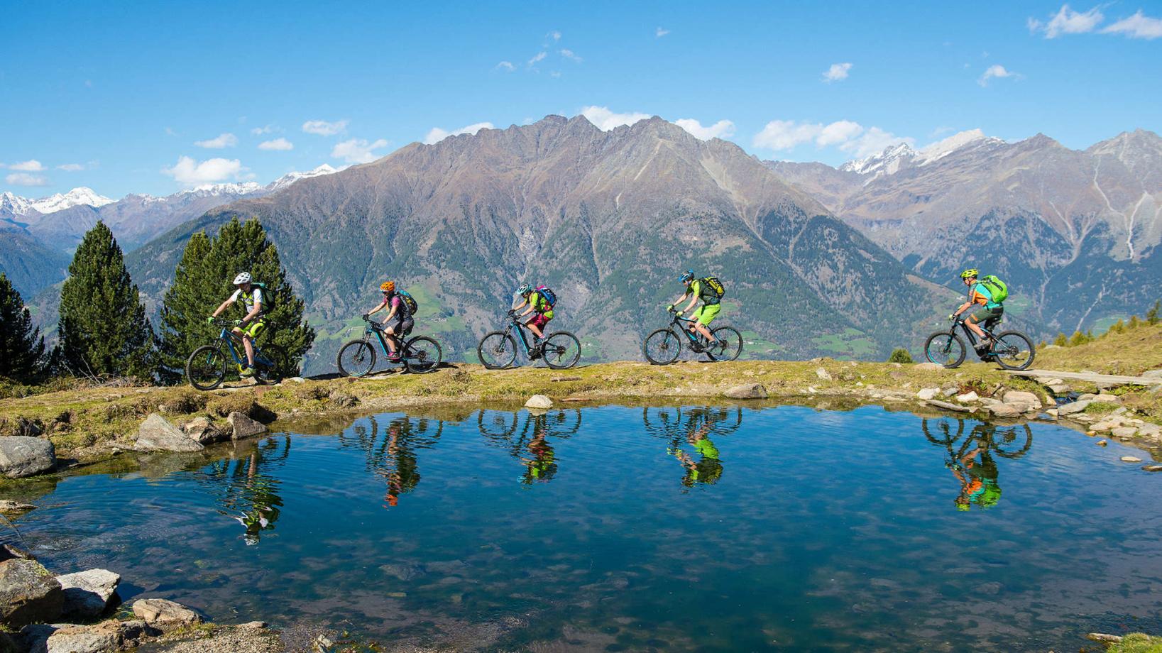
Course: Naturno (554 m) – "Naturnser Alm" hut(1.922 m) – Mone S. Vigilio (1.743 m) – Rio di Lagundo (1.326 m) – Naturno
From the Tourist Office of Naturno we ride to the main street, then we continue to the right until the first crossroad, where we turn left into via Stazione, which we follow until we cross the bridge over the Adige, to reach the sports field, the starting point of the climb on the Monte Tramontana di Naturno, that leads us all the way up to the car park "Kreuzbrünnl" (1600m). After the barrier the last section to the "Naturnser Alm" hut (signposted) starts. After a short break we take the trail nr. 9A that starts shortly after the hut. After a short upill we arrive on a plateu and after a hilly section we get to the crossroad and take the trail nr. 9, which leads us downhill to San Vigilio (steep sections, visit the church of San Vigilio). From the church we ride downhill to Rio Lagundo (signposted) on the forest street nr. 28. At Rio Lagundo we pass a chapel and take the asphalt street back to Tel, where we cross the bridge and take the cycle path back to Naturno.
Back to the overview


