05 E-Biketour to Montefontana
Quick Overview
| Distance | 19 km |
|---|---|
| Elevation gain | 520 m |
| Elevation gain | 520 m |
| Duration | 3:00 h |
|
Condition
1 = very easy (max. 200 hm) |
|
Tour months
Equipment
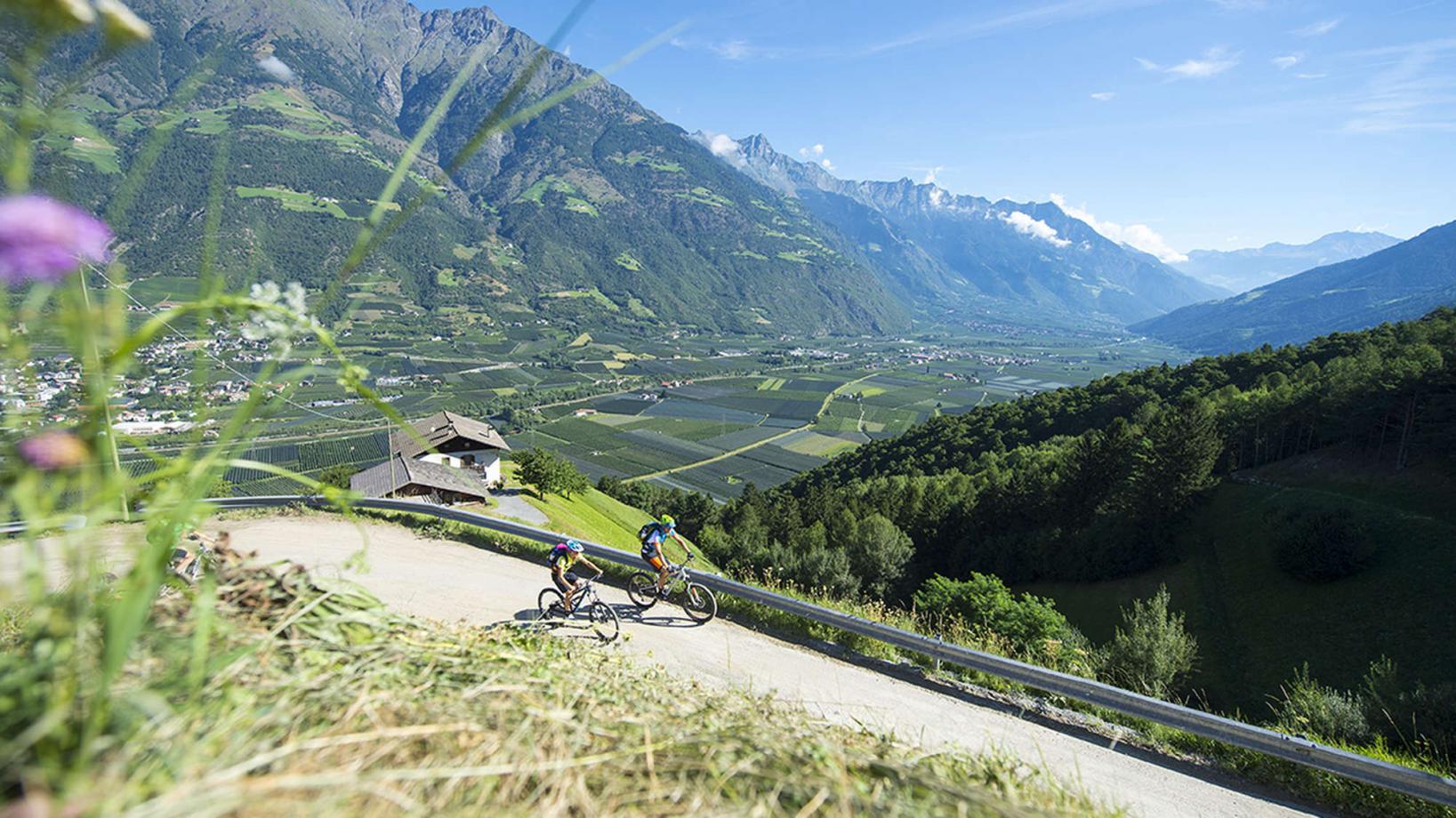
Course: Naturno – Ciardes – Montefontana – "Schleidertal" – Tablà – Cirlano – Naturno
From the town center of Naturno, we take Via Stazione / Bahnhofstraße which leads us to a bridge, the starting point of the cycle path on the Lungoadige / Etschdamm. We turn right and take the cycle path towards Val Venosta. We follow the cycle path to Ciardes (Restaurant Winkler). We turn left, cross the bridge and follow the road to the uphill of Montefontana. We ride the uphill until we arrive at the farm "Radeben" (950m). Just under the farm on a right hairpin bend we proceed on the forest path on the left that will lead us to our highest point of the day (apporx. 1050m). By following this forest road we will get to the crossroad to "Schleidertal". We turn left to get to Tablá, where we will proceed towards Cirlano and back to Naturno.
Back to the overview


