The Sella between Val Gardena and Alta Badia
Sella (also called the Sella Group, Gruppo del Sella or Sella massif) is a mountain massif of the Dolomites with a high plateau, surface of which lies in South Tyrol, Trentino and Veneto. At 3,152 m, Piz Boé is its highest peak. The striking group dominates the panorama even from a distance.
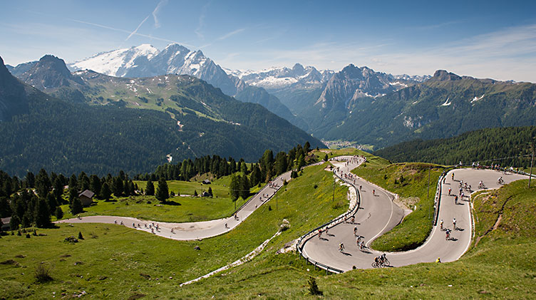
There is hardly anyone who tours with a road bike who does not know it – the Sellaronda in the Dolomites. It is rightly one of the most popular tours in the Alps. This 58-km-long track with an altitude of just under 1,800 metres is considered to be moderately difficult amongst road bike tours. Once a year, mostly in midsummer, the Ronda around the Sella massif belongs entirely to the cyclists.
In this article:
1) The Sellaronda Bike Day in the Dolomites2) Start in the Sellaronda: From Selva di Val Gardena to the Passo Sella
3) Over the Passo Pordoi to Arabba
4) Passo di Campolongo, Alta Badia and the Passo Gardena
1) The Sellaronda Bike Day in the Dolomites
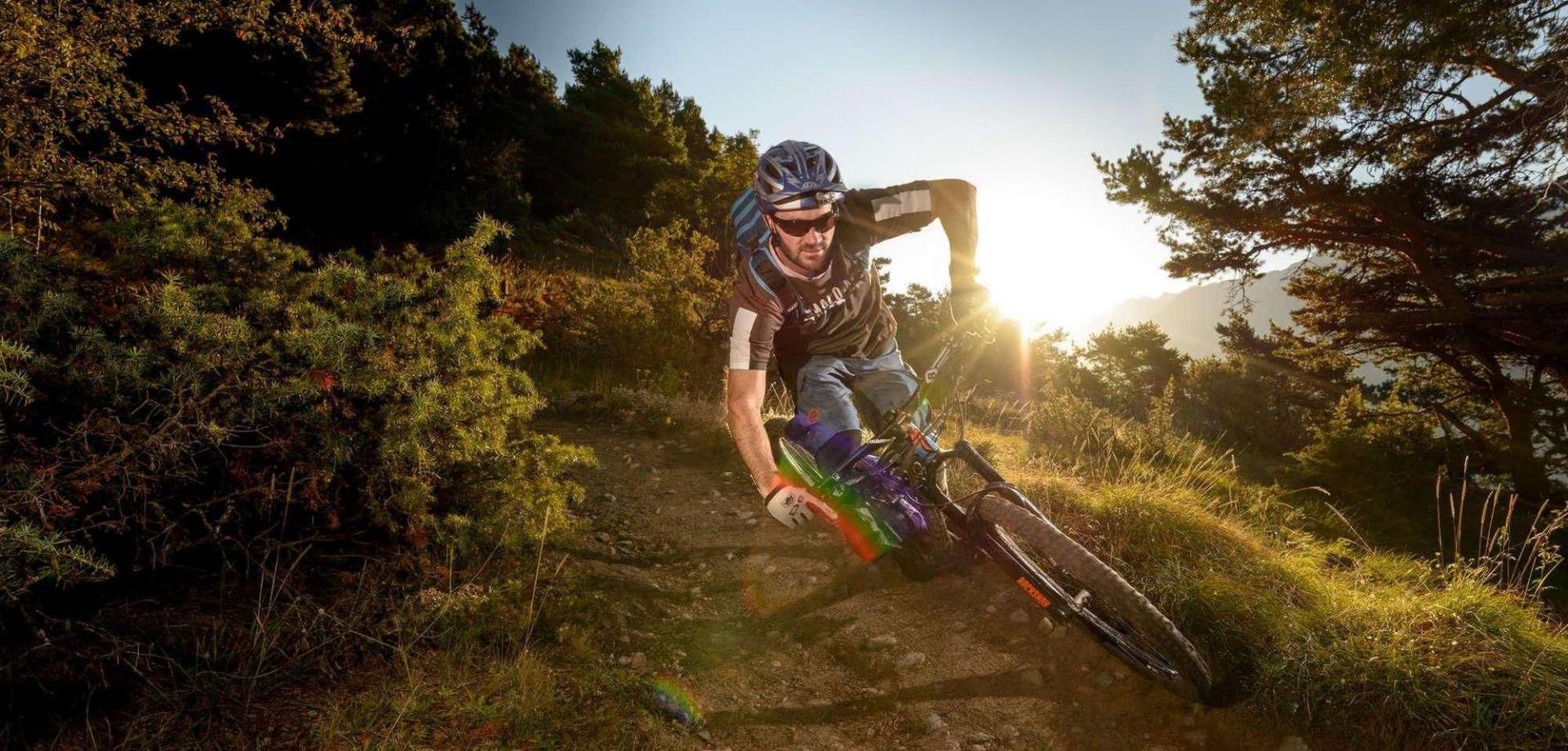
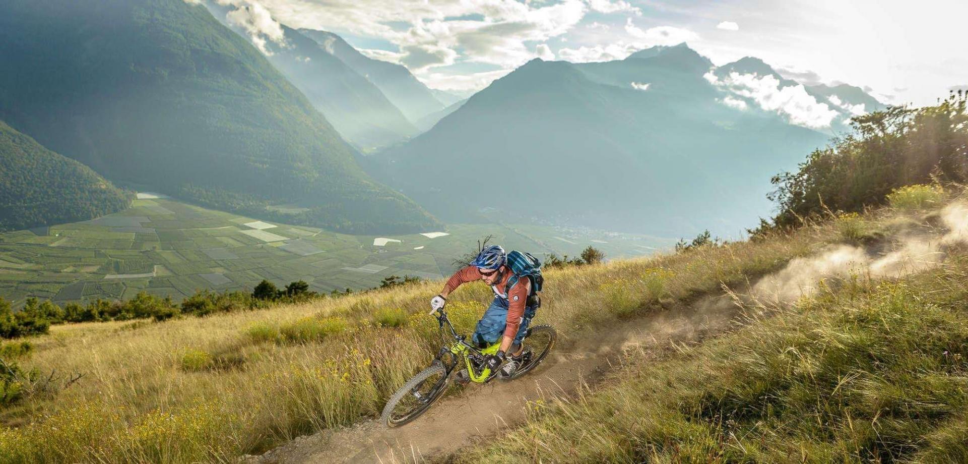
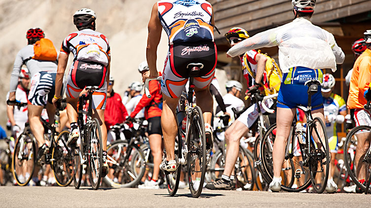
Whether on a road bike, a MTB or a trekking bike, on Sellaronda Bike Day more than 20,000 participants spiral up pass by pass. The locals regularly complain about the noise of motorbikes but for one day a year, only the whirring of wheels and gears can be heard between the towering rock faces. Out of season, a similar peace can otherwise only be enjoyed on the Sella in the Dolomites in the early morning.
2) Start of the Sellaronda: From Val Gardena to the Passo Sella
Selva di Val Gardena is a small village at the end of the valley in Val Gardena and lies on the border of South Tyrol to Val di Fassa in Trentino at 1,563 m. This saves several meters of altitude for the beginning of the Sellaronda to the first pass. The climb to Val Gardena or Passo Sella at 2,230 m is not too strenuous with the Dolomites in sight. Halfway up, there is a turn-off where you can decide whether to cycle the Ronda towards Val Gardena or Passo Sella.
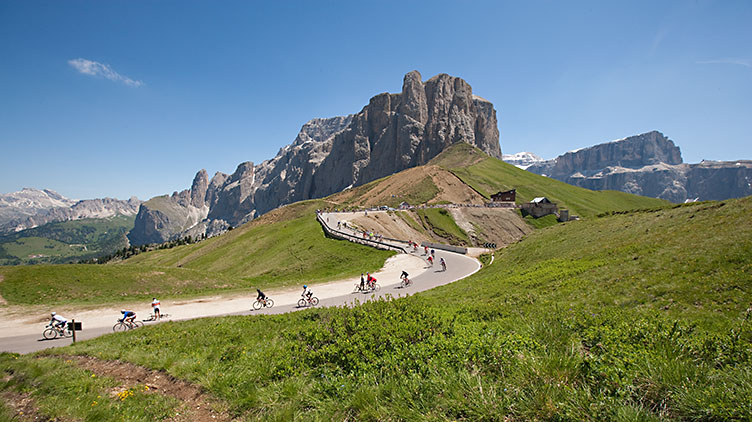
Ideally, the route should be cycled from Selva Val Gardena towards the Passo Sella as on the Sellaronda Bike Day. This gives you the best view of the Dolomites. Especially in the first sunlight of the morning hours, the sight of the Sassolungo and Sassopiatto on the long ascent is extremely motivating, before heading through the hairpin bends to the Passo Sella.
Once at the top, don’t just cycle through, instead take in the sight of the Marmolada glacier. At 3,343 metres, it is the highest mountain in the Dolomites. In front of it lies the picturesque Val di Fassa.
3) Over the Passo Pordoi
During the descent from the Passo Sella towards Canazei in Val di Fassa, the Great Dolomite Road (SS48) branches off halfway to the Passo Pordoi at 2,241 m and leads to Arabba. Arabba is part of the municipality of Livinallongo del Col di Lana. The Pordoi Joch is one of the highest tarmacked passes in the Dolomites. It was not until the construction of the Dolomite road in 1901 that tourists found it interesting. The pass has been the Giro’s stage finish on several occasions. Heading down to Arabba, the altitude drops again to 1,602 meters.
Located directly on the southern side of the Sella Group, Arabba is known as the Arraba – Marmolada ski resort, primarily for winter sports. After all, the Sellaronda ski tour is considered the most famous in the Dolomites and Arabba is located right on the route.
4) Passo di Campolongo & Alta Badia
During the last ascent of the Ronda to the Passo di Gardena, there are only 600 meters of altitude difference that call for a little more energy reserves. At an altitude of 2,121 m, it forms a saddle between the Gruppo del Sella and the Cir peaks of the Puez-Odle Nature Park. Again, it was road construction from 1960 onwards that brought about the upturn in tourism.
By promoting this four-pass tour on the Sellaronda Bike Day, the Sella’s visibility in the scene has increased enormously.
Another highlight on the Sella is the Maratona dles Dolomites. This street marathon around Alta Badia has been taking place on the first Sunday in July since 1987. The route over 138 km and 4.190 altitude meters also leads over the Sellaronda. The number of cyclists at the annual registration is several times higher than the number of starting places. Getting a starting permit during the raffle is all down to luck.
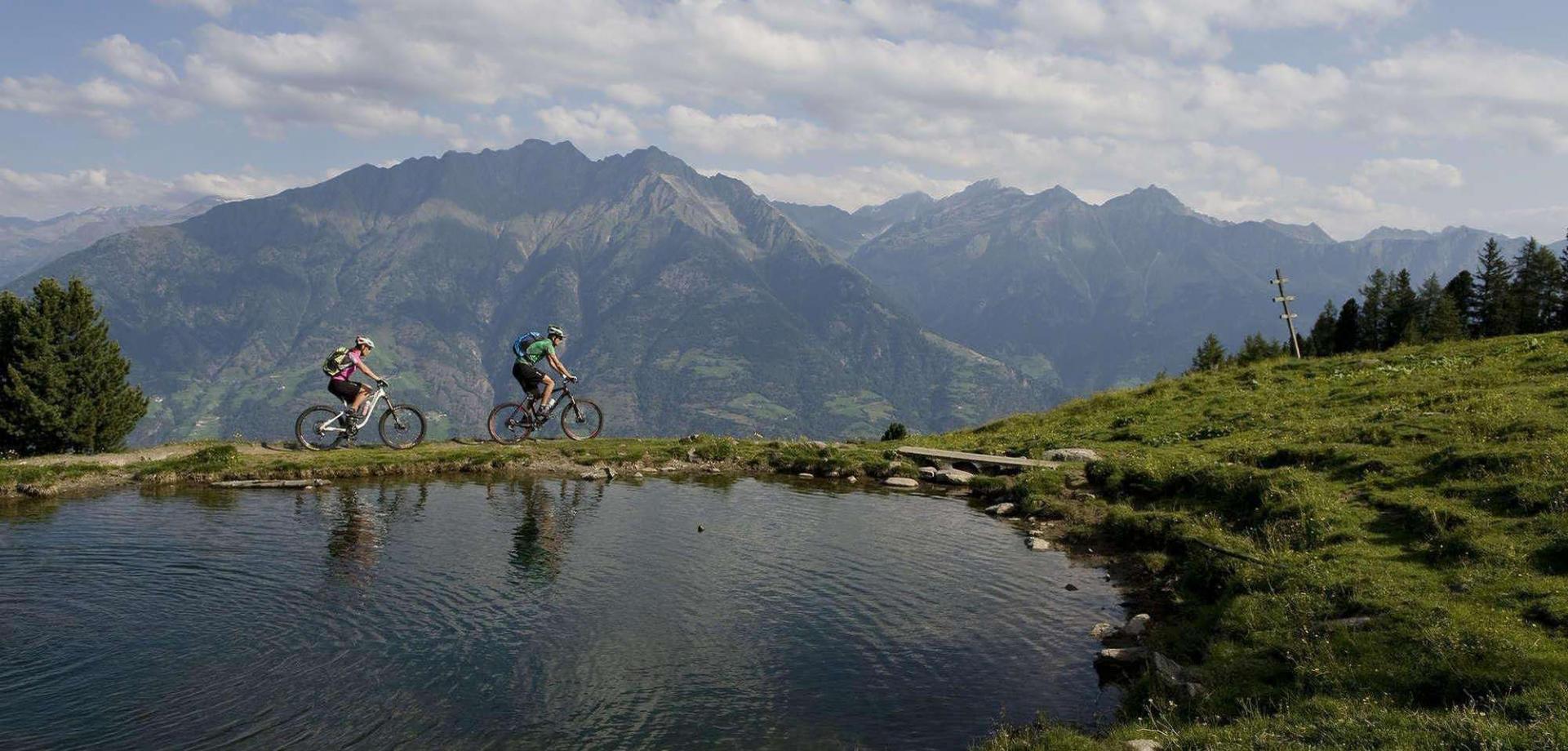
The ‘Sella Ronda’ ski tour around the Sella massif looks back on a long history of winter sports, however. The length of the Ronda per ski adds up to more than 40 km thanks to the numerous ascent and descent facilities. There are several tempting huts along the way where you can stop for a bite to eat. The winter splendour of the Dolomites on the Sella is an experience just as overwhelming as taking part in the Sellaronda Bike Day.
Ötzi Bike also offers the Sellaronda as a guided tour. We also provide a shuttle service to the Sella or another starting point in the Dolomites.


