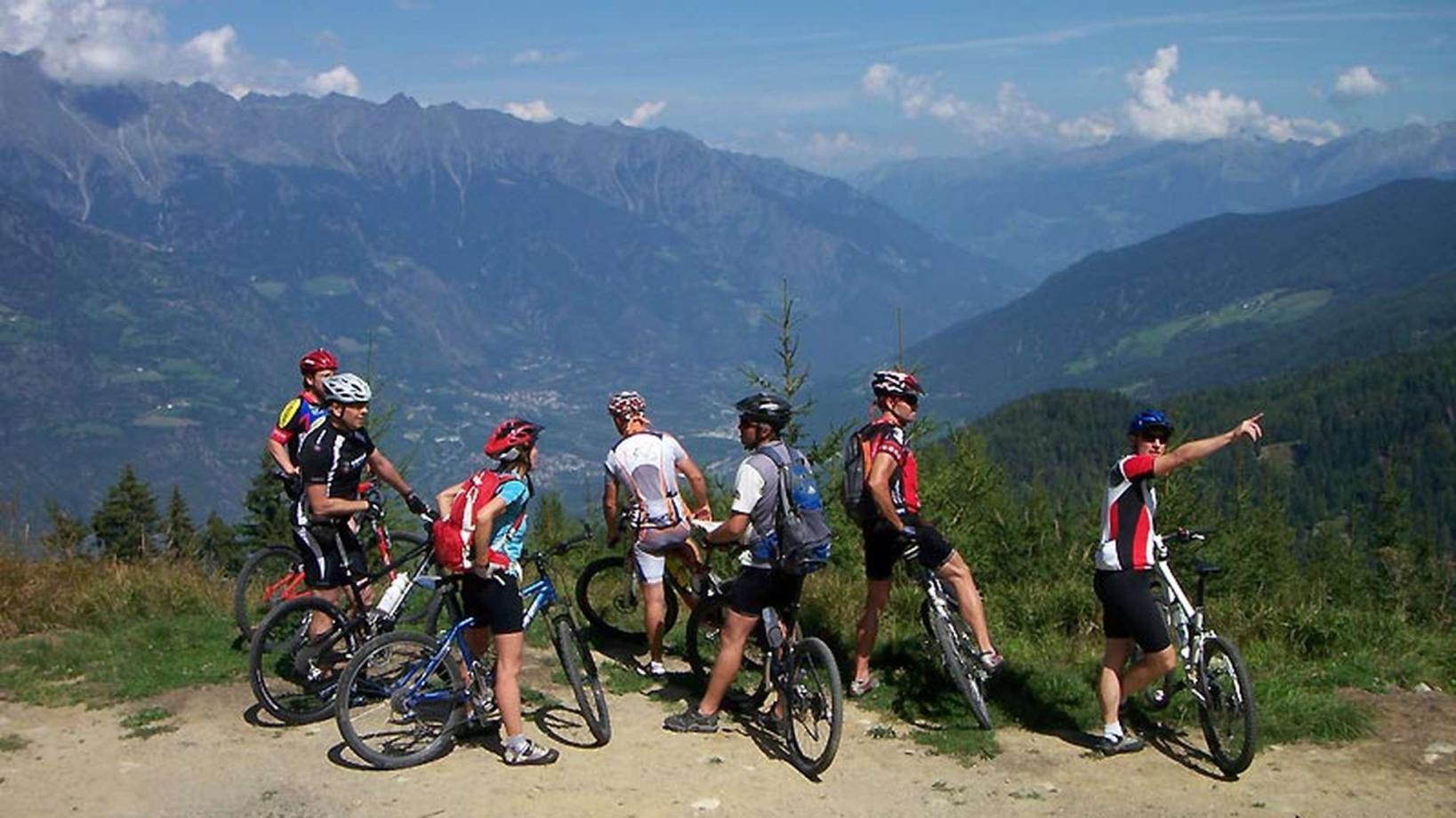
025 Tour to the "Malga di Marzon" hut
Quick Overview
| Distance | 31.4 km |
|---|---|
| Elevation gain | 1.100 m |
| Elevation gain | 1.100 m |
| Duration | 2:45 h |
|
Condition
1 = very easy (max. 200 hm) |
|
|
Driving technique (S0 - S5)
The rating of the driving technique is based on the values of singletrail-skala.de.
S0 = S0 describes a single trail that has no special difficulties. These are mostly liquid forest and meadow paths on grippy natural soils or gravel solidified. Stages, rock or root sections are not expected. The slope of the path is light to moderate, the curves are extensive. |
|
Tour months
Equipment
Course: Naturno (554 m) – Stava (554 m) – Ciardes (625 m) - Castelbello (600 m) – Montefranco (1.200 m) – hut “malga di Marzon” (1.595 m) – Montefontana – singletrail "Lupotrail" - Tablà(675 m) Cirlano (585 m)– Naturno
From the town center of Naturno, we take Via Stazione which leads us to a bridge, the starting point of the cycle path on the Lungoadige. We turn right and continue on the cycle path towards Stava, Ciardes and finally Castelbello. There we turn left and follow the signs "Uphill Marzoneralm". The "Malga di Marzon" hut (1600m) marks the highest point of the tour, which we reach after an elevation gain of 1000 meters. The initial part of the uphill climb contains steep sections leading us to the mountain village of "Montefranco" (1200m). From there we continue on a forest road to the hut.
On our way back from the "Malga di Marzon" we take the Bike Highline Merano and follow the trails to reach the start of trail no. 4, "Lupotrail" (signposted). This pleasant singletrail leads us all the way down to Tablá, where we turn right to get to the village's church. We keep left and follow the road to Cirlano, where we turn right at the restaurant "Tschirlanderhof" to reach the sports ground of Naturno. Along the Via Stazione we ride back to the center of Naturno.


