017 Excursion to the Casle of St. Anna
Quick Overview
| Distance | 42 km |
|---|---|
| Elevation gain | 1.050 m |
| Elevation gain | 1.050 m |
| Duration | 3:30 h |
|
Condition
1 = very easy (max. 200 hm) |
|
|
Driving technique (S0 - S5)
The rating of the driving technique is based on the values of singletrail-skala.de.
S0 = S0 describes a single trail that has no special difficulties. These are mostly liquid forest and meadow paths on grippy natural soils or gravel solidified. Stages, rock or root sections are not expected. The slope of the path is light to moderate, the curves are extensive. |
|
Tour months
Equipment
Course: Naturno (554 m) – Castelbello (600 m) – Montetrumes (1.300 m) – Farm Ratschillhof (1.282 m) - Casle S. Anna (1.015 m) – Vezzano (708 m) – Coldrano (700 m) – Laces (639 m) – Naturno
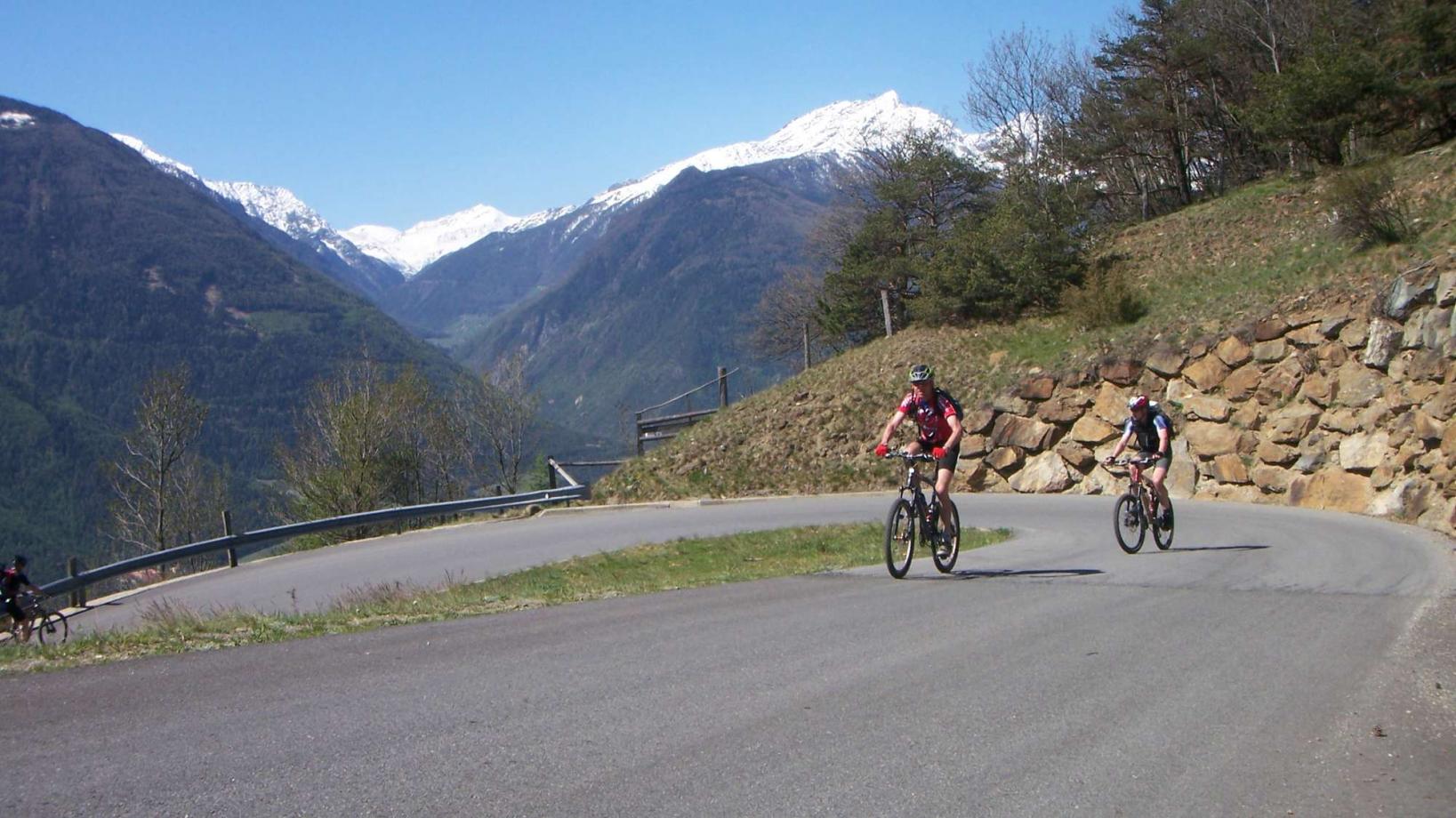
From the town center of Naturno, we take Via Stazione which leads us to a bridge, the starting point of the cycle path on the Lungoadige. We turn right and follow the cycle path towards Stava, Ciardes and finally Castelbello, where we cross the main street and start the climb to "Montetrumes" and "San Martino al Monte" (signposted). After a fairly steep but long climb, where we pass some mountain farms (Köstenplonhof, Platz Mairhof), we reach the crossroad that leads to the "Ratschillhöfe" farm (signposted) at approximately 1440m above sea level. We continue on this street for about 1,2 km. Just before the farm, we turn left to ride downhill a stony cart track to the Castle of St. Anna. Next, we ride past the castle to get to Vezzano (signposted). At the church of Vezzano we turn left and follow the signs to Coldrano. Arrived in Coldrano, we pass through an underpass and take the cycle path back to Naturno, our final destination.
Back to the overview


