Q
Current weather
12°C
min.
21°C
max.
 Over 100 tours to choose from!
Open route planner

048 Tour to the "Marzoner Alm" hut and Lupo Trail

Quick Overview

Distance 16.6 km
Elevation gain 430 m
Elevation gain 1.100 m
Duration 1:30 h
Condition

1 = very easy (max. 200 hm)
2 = easy (max. 400 hm)
3 = medium (max. 800 hm
4 = difficult (max. 1200 hm)
5 = very difficult (über 1200 hm)

Driving technique (S0 - S5)

The rating of the driving technique is based on the values ​​of singletrail-skala.de.

S0 = S0 describes a single trail that has no special difficulties. These are mostly liquid forest and meadow paths on grippy natural soils or gravel solidified. Stages, rock or root sections are not expected. The slope of the path is light to moderate, the curves are extensive.
S1 = a S1 described way you have to even minor obstacles such as shallow roots and small stones to expect. Very often the odd gulley erosion damage and cause of the increased difficulty of the ground can not be partially solidified. The gradient is a maximum of 40%. Hairpin bends are not expected.
S2 = expect the S grade S2 have to with larger roots and stones. The soil is often not solidified. Steps and shallow steps are expected. Often sharp bends occur, the slope is passages, up to 70%.
S3 = Splinted single trails with many large rocks and / or root sections belonging to the S-level S3. High levels switchbacks and brain-lateral gradients often occur, relaxed roll sections are rare. Frequently is also expected to slippery surfaces and loose rocks, slopes above 70% are not uncommon.
S4 = S 4 describes very steep and strong interlocked single trails with large boulders and / or demanding root passages therebetween often loose debris. Extreme steep ramps, narrow switchbacks and steps in which the chainring touches inevitably come in 4th grade common.

Tour months

May, June, July, August, September, October

Equipment

Helmet, gloves, good shoes, glasses as well as bike clothing and drinking bottle!

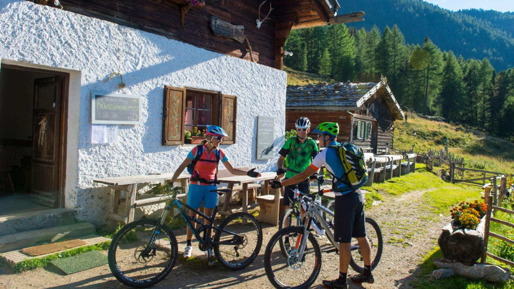
We take the bike shuttle to the small mountain village Montefranco, where we start riding towards the "Marzoner Alm" hut, one of the lowest alpine pastures in Southtyrol. Alternatively, we can also ride the steep road from Castelbello to the "Marzoner Alm" hut ourselves (1070m elevetion gain). From the "Marzoner Alm" we take the Bike Highline Merano and follow the trails to reach the start of the "Lupotrail" (No. 4, signposted). Most parts of the Highline are broad forest roads, but this stretch is quite narrow with some exposed areas, so be careful. We start riding on the "Lupotrail" which brings us all the way down to Tablá. The downhill is a real test for our brakes and our body. The trail is full of gravel and roots, but has a quite flowy character and is thus perfectly suited for beginners. Experts have the possibility to switch to the "Fontanatrail" at half way (S3). Arrived in Tablá, we return to Naturno through the apple orchards.

Back to the overview
Logo Bike Hotels Logo Espira Logo Mountain Bike Holidays Logo Kalkhoff Logo Focus

Contact

Partner

This page uses cookies for functional and analytical reasons. Read our cookie regulations for more information. By using this website you agree with our cookie regulations.