036 Tour to Velloi
Quick Overview
| Distance | 31.4 km |
|---|---|
| Elevation gain | 700 m |
| Elevation gain | 700 m |
| Duration | 2:30 h |
|
Condition
1 = very easy (max. 200 hm) |
|
|
Driving technique (S0 - S5)
The rating of the driving technique is based on the values of singletrail-skala.de.
S0 = S0 describes a single trail that has no special difficulties. These are mostly liquid forest and meadow paths on grippy natural soils or gravel solidified. Stages, rock or root sections are not expected. The slope of the path is light to moderate, the curves are extensive. |
|
Tour months
Equipment
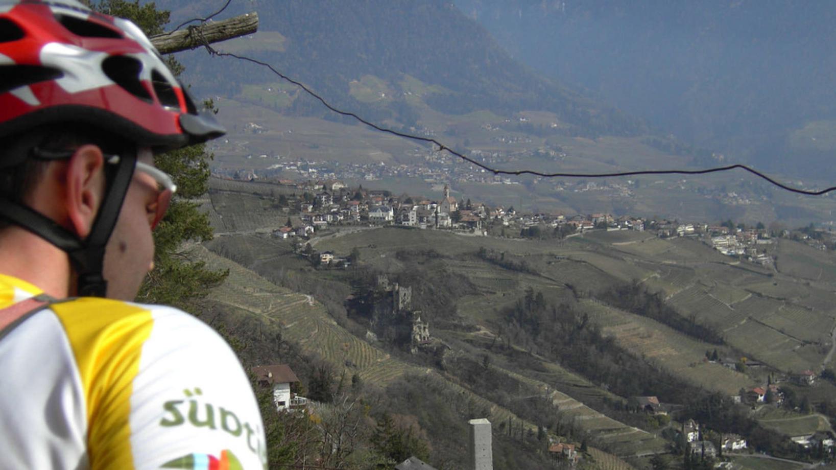
Course: Naturno – Plaus - Rablà – Partcines – Tel - Plars- Velloi - Tel - Naturno
From the town center of Naturno, we take Via Stazione which leads us to a bridge, the starting point of the cycle path on the Lungoadige. We turn left and follow the cycle path to Rablá, where we turn left and keep left to ride past the coffee roasting house Schreyögg in to the center. We cross the main road and follow the street to Parcines, where we have a beautiful view over Merano. From the center of Parcines, we take the road to Tel and return on the cycle path towards Merano. We cross the main road and proceed on the road, not the cycle path, towards Lagundo. Behind the parking area at the start of the "Algunder Waalweg" we turn left and follow the street to Plars di Sopra and Velloi. The highest point of our tour is reached at the restaurant "Oberlechner", where we begin the downhill back to Tel. At Tel we turn left, cross the bridge and turn right to get to the train station of Tel (signposted). From there a forest road brings us to Rablá, where we keep left to get back to Naturno on a side road.
Back to the overview


